About Us
Proud to be lean, knowledgeable, and experienced
Axis Maps was formed in 2006 and quickly became engaged with the rapidly changing field of interactive mapping. Google Maps had launched the previous spring. We were surprised to see that the cartographic fundamentals and traditions we studied in grad school were falling by the wayside. Many new maps focused on the technical aspects of delivering geographic content over the web rather than clear communication through cartographic design.
We formed Axis Maps to bring Cartography to what was becoming a technical field. While other companies focused on algorithms, we developed intuitive user-interfaces. When they built software to reach the broadest market possible, we designed custom maps to make sure each map was right for our client. We believe new map technologies should be used not only for efficiency and delivery, but also for great cartographic and interactive design.
Meet our team
1. We data
Every map begins with data, the raw material to be transformed into meaningful information for your audience. Whether it’s a global historical narrative or rankings of local hospitals, your data is the foundation for the entire project.
Understanding
Every project begins with a complete data inventory. We work with you to assemble a full picture of the geographic data as well as the numbers, text, and visual media associated with it. Once we know exactly what needs to be mapped, we can effectively design the right custom product for you.
Integration
For a map to stay healthy, active, and relevant, it needs to be updated to reflect the newest data available. It is very important for us to integrate as much of the map data as possible with your existing data processes. We want to design a system that fits into your existing workflow without expanding it.
Formats
We know that different organizations store their data differently. Some use databases, others rely on Excel. Because we custom design all of our maps, we can take your industry-specifc data format into account and help educate you on how geographic data fits into your current data systems.
2. Design matters
Design is more than making a polished finished product. It’s about turning your data into meaningful visuals and crafting a user-interface through which users can explore, discover, understand, and accomplish their goals for using the map.
Communication
The most important job of a user-interface is communication. Each UI element communicates a specific piece of map functionality to the user. Before we begin our design process, we’ll work with you to understand your users. By knowing who it is you are targeting, we can craft the most appropriate UI for their needs and abilities.
Planning
At the end of the design phase, we produce a complete mock-up of every UI element and map-state for the entire project. This planning shows you exactly what is going to be built. More importantly, it gives us the chance to iterate over each element of the design, ensuring the finished product is well-thought-out, polished and unified.
Identity
Many of the maps we build for our clients exist as part of a larger project or online presence. During our design process, we’ll look at your existing branding and graphic identity to ensure that our custom map fits seamlessly into the visual look you already have in place.
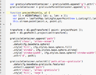
3. { Code } that works
Ideas and concepts become reality through code. It loads data, constructs the map framework and visual display, and makes your finished product look and work exactly as planned in the designs.
The Right Tools
We believe in being versatile in the technology we use. It allows us to choose the right data and mapping technologies to be responsive to you the needs of your project and technological constraints. By not being married to a single technology, we remain current, ensuring the technology powering your map is the best available
Compatibility
Now more than ever, people do not access online maps in the same way. Maps need to work independent of the devices they are accessed on. We design our maps to look great on all screens, PC / Mac / tablet and to be accessible by a mouse or by touch.
Open Source
We are proud to use open-source mapping libraries in our projects.
Team
Meet the mappers
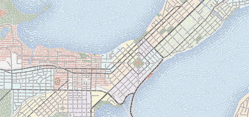
Axis Maps was formed in 2006 by 3 graduate students finishing their advanced degrees in Geography at the University of Wisconsin-Madison. We are now a team of 4, working remotely in the US and UK.